

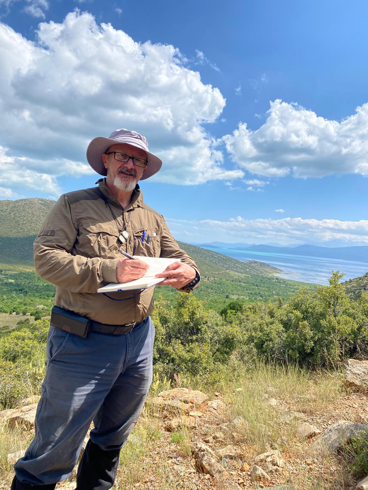
Prof. Dr. İsmail Ömer Yılmaz, faculty member at the Department of Geological Engineering, METU Faculty of Engineering, has been elected as an Executive Committee member of the TopoAsia International Research Initiative. TopoAsia aims to study the topographic evolution of Asia through an integrated approach extending from deep Earth processes and plate tectonics to surface-climate interactions.
TopoAsia is an international collaborative research initiative that aims to reveal the continuous dynamic processes of topographic evolution in Asia. Bringing together geoscientists from different disciplines and countries in the fields of geodynamics, tectonics, and topographic evolution, the initiative seeks to examine the interactions between Asia’s deep Earth systems and surface processes from a multidimensional perspective.
As part of TopoAsia’s eight-member Executive Committee, Prof. Dr. Yılmaz will contribute to the development of the initiative. In this role, he will take part in the daily operations and implementation of TopoAsia’s activities, the preparation of annual work plans and budgets, the submission of activity reports to the relevant international bodies, and efforts to strengthen the initiative’s international network and enhance its scientific research potential.
About the TopoAsia Initiative
The TopoAsia Initiative was launched on October 21, 2025, during the 23rd China International Talent Exchange Conference in Shanghai. Bringing together more than 250 participants from nearly 30 countries at its first international workshop, the initiative focuses on understanding the interactions between Asia’s deep Earth and surface systems in relation to tectonic activity, natural resources, and environmental change.
Studying how deep Earth dynamics, crustal deformation, and tectonic processes shape Asia’s topography over geological timescales, TopoAsia aims to strengthen interdisciplinary collaboration through coordinated field studies, large-scale monitoring networks, AI-enhanced data integration, and open-access archives. By transforming regional observations into a continent-wide framework, the initiative aims to contribute to a better understanding of the topographic evolution of Asia, as well as earthquake and volcanic hazards.
More information on the TopoAsia Initiative is available here.